EXPLORE
The Hackensack Today
As we have seen, the Hackensack River has transformed over the last three centuries. Dividing the river with the construction of the Ordell Dam in 1922 created two distinct sections.
Above the dam, the Upper Hackensack has been managed primarily as a freshwater system surrounded by residential and agricultural land use.
The Lower Hackensack, the tidal estuary flowing below the dam, has gone through the rise and fall of heavy industrial development. Today, many of the heavy industrial polluters have either closed, or been forced to stop polluting.

Water Quality Data
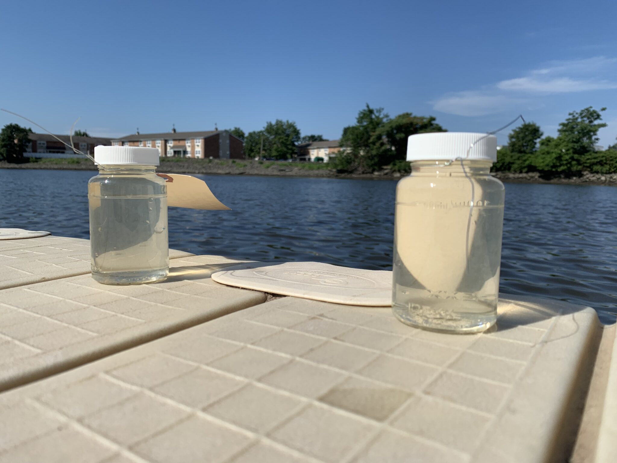
The health and quality of water is measured using a series of chemical and biological tests and indicators that are collected at different points in the watershed over time. Over the course of years, we can observe water quality measures as a trend, either getting better or worse. And we can understand what uses of the land and water are creating problems, and which are having a positive impact.
Water Quality Data
graph or link to data source here

Superfund Status
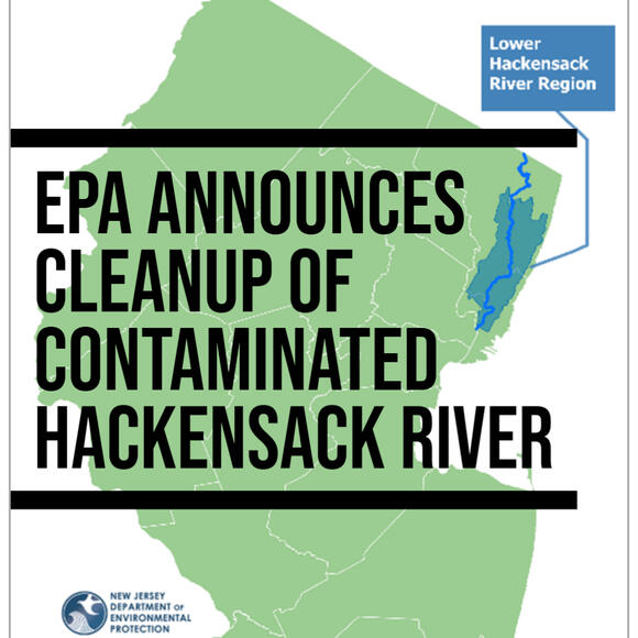
While many of the heavy polluting industries on the Lower Hackensack have either closed or have been forced to stop polluting, their decades of pollution have created significant problems for the health of the river lasting to the present. Under the Comprehensive Environmental Response, Compensation, and Liability Act, the US Environmental Protection Agency (EPA) is provided with a "super fund" to help pay for the clean up of uncontrolled or abandoned hazardous-waste sites that are creating environmental problems. In September 2022, the EPA, with support from New Jersey lawmakers, approved the Lower Hackensack River as one of these 'Superfund' sites, meaning there would be more funding available to clean up the river, and more legal tools available to hold polluters responsible.
- EPA - Lower Hackensack River Superfund Site Profile
- EPA - Press Release (09/07/22)
QUESTION: Is being designated a "Superfund" site a good thing for the health of the Hackensack River?
